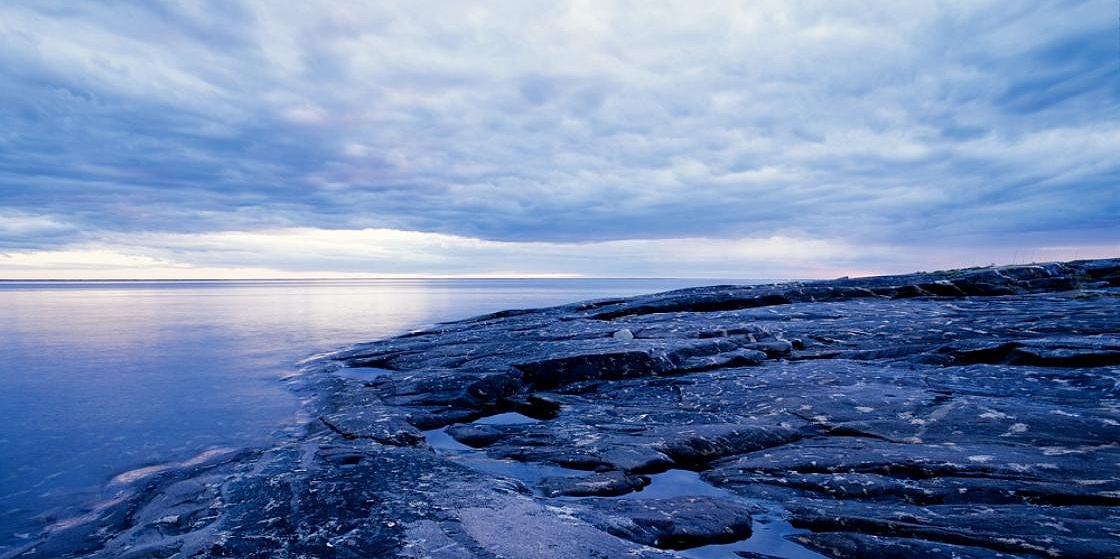
Photo: Bondar Daniil/GeoPhoto.ru
Northern Fleet’s Hydrographers Find Errors in Maps
Even in the XXI century the Arctic remains one of the least explored regions on Earth. This is why sending research expeditions to high latitude areas is still important.
On 20 September, Gorizont, a hydrographic survey ship operated by the Russian Navy, set anchor at Mishukovo, the base hosting the Northern Fleet’s survey vessels. Gorizont returned from her one-and-a-half-month-long mission trip to a remote zone north of Novaya Zemlya, a Russian archipelago in the Arctic Ocean. The voyage was undertaken to advance knowledge of the largely underexplored territory.
As part of the mission, a team of researchers onboard Gorizont conducted a survey of seabed topography and collected water and soil samples in the Barents and Kara Seas. According to the press service of the Northern Fleet, the expedition has found out that the Russian border in the area had been mismapped. The existing maps will be revised in light of this finding.
With Gorizont having returned to her homeport, the field phase of this season’s oceanographic operations in the Russian Arctic is coming to an end. Based on the data collected, hydrographers will update maps and nautical charts to ensure safe navigation by civilian and military shipping in this part of the Arctic Ocean.
21 September 2021


